Manning's Pit and the Bradiford ValleyMaps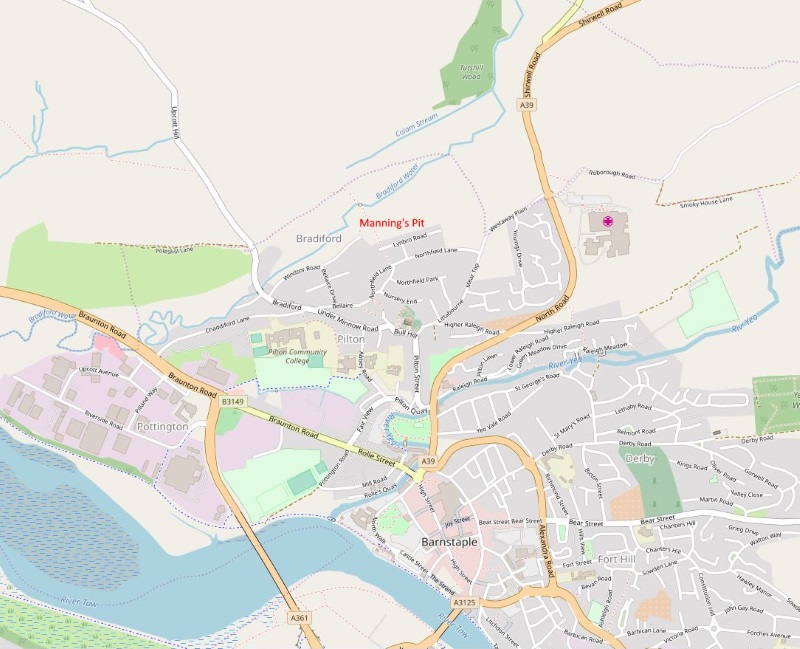
An Opensource map showing the location of Manning's Pit,
on the edge of Barnstaple. There are three entrances
to Manning's Pit, the main one at present is down a little
lane at the left end of Lynbro Road ( EX31 1QG )
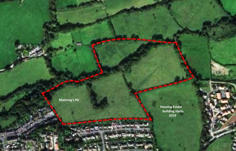
Manning's Pit aerial view, taken from Google Maps, with
the land that is an
Asset of Community Value outlined in red.
|